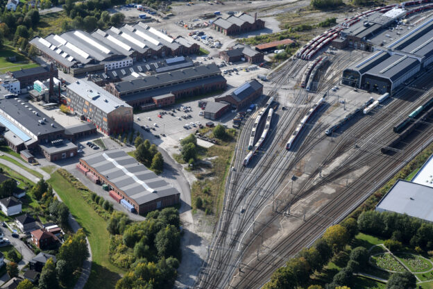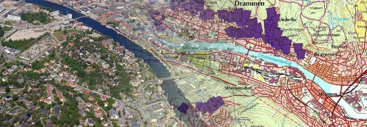
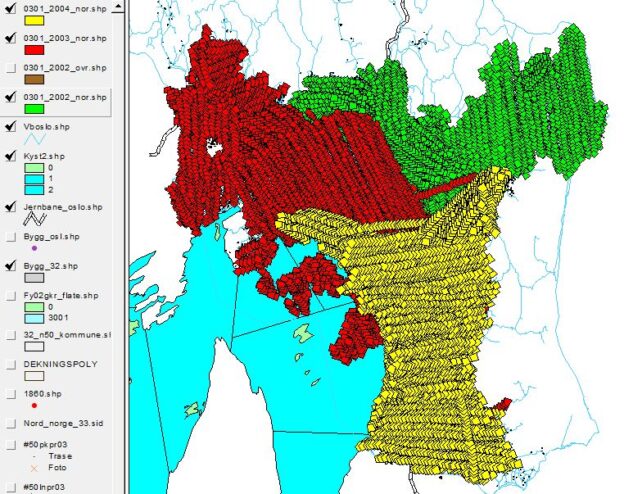
Aerial photography over Oslo, Norway, from 2002 to 2004 is likely to provide valuable historical documentation of the city’s development during that period. The use of polygons to represent the location of individual images is a common method in Geographic Information Systems (GIS) to organize and visualize spatial data.
The attribute table accompanying these polygons would typically contain information such as:
Photo Date: This field would indicate the date on which each aerial image was captured. Knowing the date is crucial for understanding the temporal context of the images and tracking changes over time.
Image Link: This field would provide links or references to the actual aerial photographs associated with each polygon. These links could lead to digital copies of the images stored in a database or online repository.
Analyzing aerial photography from this time period could offer insights into various aspects of Oslo’s urban development, including changes in infrastructure, land use patterns, and demographic shifts. Researchers, urban planners, historians, and policymakers often use such data to study trends, plan future development, and preserve historical records.