Tag Archives: aerial

Aerial photography, GPS systems

Aerial photography may require additional information, such as position data. I just received GPS box no. 2, a specially built device that registers position, time, and more for the photographs in a plain, simple text file. The registration of the photo point comes via the cable from the camera’s flash shoe. We have had some challenges with the solution, as noise from the aircraft’s engine has reduced the photo point signal. Now, we have a solution for that too. The data file itself must also go through some conversion steps before everything is transferred to GIS (Geographic Information Systems).

In aerial photography

In aerial photography, the registration of the flight and photography points is essential. To accomplish this, certain equipment needs to be in place, and one such piece is: “Norway’s answer to Mr. Q, Kristian Fahlstrøm, the head of Q Branch (later Q Division), the fictional research and development division of the Secret Service, has assembled and arranged a small box weighing just a few hundred grams, which both collects GPS data and registers photography points. This equipment is significantly lighter than the 40-50 kilos with equipment and batteries that were in use some years ago.”

Norgesarkivet

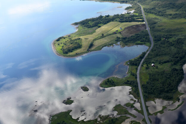
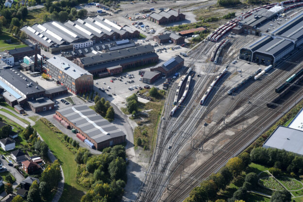
The Norgesarkivet consists of up to 1.5 million unique images, spanning from 1982 to 2013. All the motifs are from Norway and are so-called oblique photos (aerial images). Approximately 1 million images are from the period 1988 to 2013, entirely photographed by Lasse Tur. The remaining 500,000 images are from the “Ariel” archive, primarily photographed between 1983 and 1992 and acquired in 2007.
The archive has evolved from area photos taken for door-to-door sales, primarily in the form of paper copies. From 1996 and over the next 15 years, photography focused mainly on building permits and other public use. Since 2010, there has been a significant emphasis on images intended for book production, particularly the “Seen from Above” series, with 22 books published in this series.
From the outset until May 2002, everything was based on analog film. Since 2009, extensive work has been done in Estonia to scan the films and geoposition each image. The scanning work is now complete, and geopositioning is 90% finished, with the project expected to be finalized by the end of 2020.
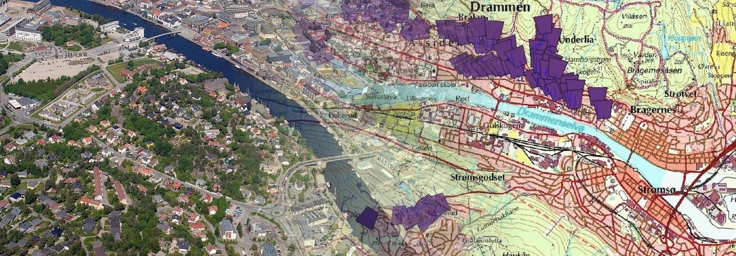
The Norwegian Archive is the only Norwegian oblique photo archive where images are geopositioned. The benefits are numerous, but particularly important is the relative ease of adapting the archive to new municipal and county boundaries, as well as providing easy access to images from a specific area through an electronic map as the entry point.

Normal photo

Normal photo. This is the type of image taken from a flying height of 300 meters. The optics used are fixed at an infinite distance. The focusing mechanism in the camera is turned off. The width of the subject from 1/3 to 1/2 up from the bottom of the image is 250-300 meters. This can, of course, vary somewhat depending on the topography. With this setup, we are quickly approaching centimeter resolution. What currently affects sharpness and detail resolution is the humidity. This cannot be immediately seen with the naked eye. https://we.tl/t-bpg8DHieDK