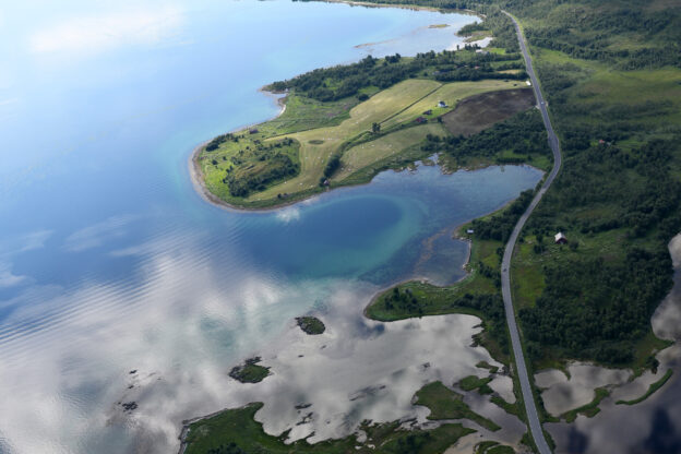
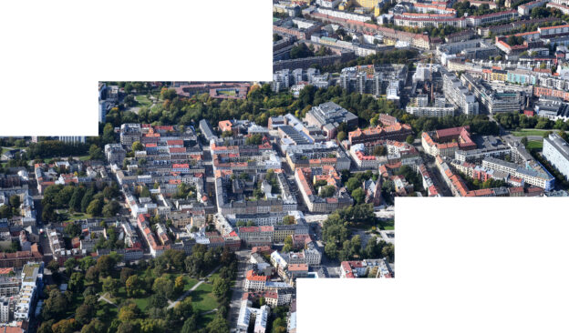
The Norgesarkivet consists of up to 1.5 million unique images, spanning from 1982 to 2013. All the motifs are from Norway and are so-called oblique photos (aerial images). Approximately 1 million images are from the period 1988 to 2013, entirely photographed by Lasse Tur. The remaining 500,000 images are from the “Ariel” archive, primarily photographed between 1983 and 1992 and acquired in 2007.
The archive has evolved from area photos taken for door-to-door sales, primarily in the form of paper copies. From 1996 and over the next 15 years, photography focused mainly on building permits and other public use. Since 2010, there has been a significant emphasis on images intended for book production, particularly the “Seen from Above” series, with 22 books published in this series.
From the outset until May 2002, everything was based on analog film. Since 2009, extensive work has been done in Estonia to scan the films and geoposition each image. The scanning work is now complete, and geopositioning is 90% finished, with the project expected to be finalized by the end of 2020.
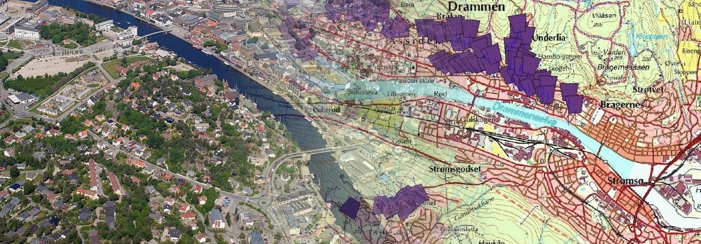
The Norwegian Archive is the only Norwegian oblique photo archive where images are geopositioned. The benefits are numerous, but particularly important is the relative ease of adapting the archive to new municipal and county boundaries, as well as providing easy access to images from a specific area through an electronic map as the entry point.


