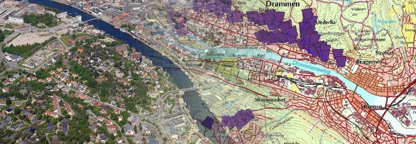
Aerial photography may require additional information, such as position data. I just received GPS box no. 2, a specially built device that registers position, time, and more for the photographs in a plain, simple text file. The registration of the photo point comes via the cable from the camera’s flash shoe. We have had some challenges with the solution, as noise from the aircraft’s engine has reduced the photo point signal. Now, we have a solution for that too. The data file itself must also go through some conversion steps before everything is transferred to GIS (Geographic Information Systems).

